
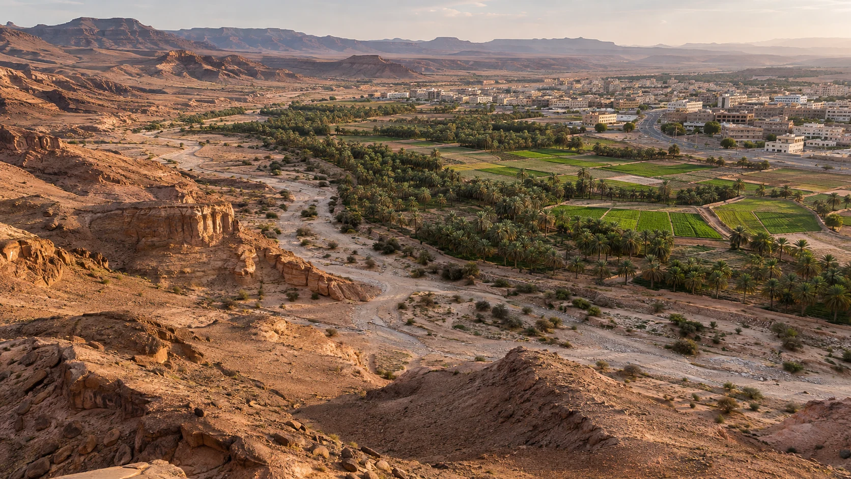
A map is no longer merely a collection of lines, boundaries and coordinates displayed on a screen. Today, it is a language of place: a way to understand cities, people, resources and the environment, and to reveal the hidden relationships between location, time and decisions. With the rapid advancement of artificial intelligence, we can analyze satellite imagery, monitor urban and environmental change, anticipate risks, explore locations and develop scenarios that support planning, investment and public services.
Yet the most important question is no longer what artificial intelligence can draw on a map. It is whether we understand the data behind that map, the limits of its accuracy and the consequences our decisions may have for people and society. This is where awareness and knowledge of geospatial AI become essential. Real value comes not only from a machine’s analytical capabilities, but also from our ability to question its findings and use them responsibly.
1. From Owning Data to Understanding Place
Geospatial AI brings together geographic information systems, remote sensing, spatial and temporal data, machine learning and intelligent models. It goes beyond answering “Where?” to explore “Why here?”, “What has changed?” and “What might happen next?”
Geospatial knowledge does not simply mean obtaining an image or a map. It means understanding the source of the data, when it was collected and its spatial accuracy; distinguishing direct observation from statistical estimation; and recognizing the difference between spatial correlation and causation. A map may look highly detailed while relying on outdated, incomplete or geographically unrepresentative data. A convincing visualization alone cannot support a reliable decision.
Geospatial awareness therefore becomes a leadership and institutional capability, rather than a technical specialization reserved for mapping experts. It creates a culture that asks, before adopting a recommendation: Who produced the data? How certain are the findings? Who might benefit, and who might be harmed?
2. Changes Reshaping the Future of Geospatial Intelligence
We are seeing a shift from mapping tools operated through manual commands toward platforms that accept natural-language questions, combine satellite imagery, sensors, maps and records, and suggest analytical steps. Geospatial foundation models are learning from extensive Earth-observation datasets. Digital twins are being used to simulate cities and infrastructure, while intelligent agents help carry out spatial tasks involving several steps. These developments also underline the importance of interoperable data and open standards: an advanced model cannot compensate for the absence of sound, verifiable data.[1]
These changes open considerable opportunities for innovation, but also introduce a new challenge. A system may confidently explain a map whose underlying layers have not been verified, or propose a route that appears reasonable even though important spatial constraints are missing. Our capabilities in validation, interpretation and governance must develop as quickly as the models themselves.[2]
3. Opportunities for the Economy and Quality of Life
In cities, geospatial analytics can help locate schools, health centers and public services according to actual accessibility and need, rather than administrative boundaries alone. In risk management, satellite imagery, terrain information and rainfall data can improve assessments of areas exposed to flash flooding and help prioritize responses. Field verification and the judgment of the relevant authorities remain essential.
In environmental work, geospatial intelligence supports monitoring of vegetation, desertification, coastal change and habitat quality. In transport and logistics, it can improve route planning, facility distribution and analysis of spatial demand. In investment, property development and tourism, spatial knowledge allows opportunities to be assessed through accessibility, infrastructure, risk and sustainability, rather than impressions of a location or the price of land alone.
These opportunities grow when universities, entrepreneurs, developers, government bodies and businesses participate in a shared knowledge ecosystem: reliable data, national capabilities, measurable experiments and solutions tested in the real world before wider deployment.
4. Risks That Do Not Always Appear on a Map
Location Privacy
Device movements and repeated visits can reveal people’s routines, homes and workplaces even when their names are not displayed. Combining datasets can also make it possible to identify individuals again or infer sensitive information about them. Removing a name alone is therefore not always sufficient to protect privacy.
Bias and Spatial Equity
If major cities are represented by newer and denser data than villages or outlying areas, models may learn to give those cities an unfairly higher priority. Changing the scale or the boundaries of an area used in analysis can also change the result. Fairness and accuracy therefore need to be tested across different places and population groups.
Hallucinations and False Confidence
An intelligent system may invent a description of a location, confuse places with similar names or express excessive certainty when interpreting satellite imagery. In sensitive applications such as disaster response or the allocation of services, an unverified result can cause real harm. Data sources, dates, assumptions and uncertainty should therefore be visible, and automated outputs should not be treated as final facts.[2]
Security, Sovereignty and Misuse
Not every geospatial layer is suitable for open publication. Some data concerns critical infrastructure, sensitive assets or operational details. Other risks include leakage through application programming interfaces, unauthorized access and excessive surveillance. A considered balance is needed between openness that encourages innovation and the protection required by applicable rules and the public interest.[5]
Data Quality and Accountability
If the source of a layer is unknown, updates are late or coordinates have been transformed incorrectly, automated decisions can become misleading regardless of the model’s capabilities. Accountability begins before an AI system is used and continues after it delivers a recommendation.
5. Turning Ethics and Governance into Practice
Describing a system as “intelligent” or “trustworthy” in promotional material is not enough. Trust is earned when data usage rights are clear, information is classified by sensitivity, processing has a defined purpose, provenance and transformations are recorded, models are tested across places and periods, and findings can be challenged and corrected. Human review should remain part of high-impact decisions, personal data collection should be limited to what is necessary, and security and privacy should be built in from the outset. These principles are consistent with UNESCO’s Recommendation on the Ethics of Artificial Intelligence.[3]
In Saudi Arabia, the Personal Data Protection Law provides a framework for handling data that can identify an individual directly or indirectly. National geospatial data policies address classification, sharing, protection and licensing. Geospatial AI experiments should therefore remain connected to compliance requirements and institutional governance.[4][5]
I propose assessing the quality of any geospatial application through five practical questions: Are its sources documented? Is its accuracy appropriate for the decision? Does it respect privacy and rights? Can its recommendation be explained and reviewed? And does it deliver measurable benefits without geographic exclusion or unjustified harm?
6. Saudi Arabia’s Opportunity to Build a Responsible Geospatial Knowledge Ecosystem
Saudi Arabia has a strategic opportunity to turn disconnected geospatial layers into operational knowledge that supports Saudi Vision 2030, digital transformation and quality of life. The National Geospatial Strategy emphasizes innovation, capability development, integration and data-informed decisions. In January 2025, the General Authority for Survey and Geospatial Information also launched a geospatial intelligence initiative to support decision-making, covering spatial and temporal analysis, change detection and predictive modeling.[6][7]
Leadership in this field will not come from expanding technical infrastructure alone. We need to build public and professional awareness progressively, from policymakers and managers to analysts, students and developers. We also need well-governed experimental environments, documented data that can be used lawfully, and partnerships connecting research to the real challenges facing cities, infrastructure, the environment and the economy.
“Ask Geospatially!” — From a Question to a Decision We Can Trust
The idea of “Ask Geospatially!” offers a promising way to make spatial knowledge accessible to non-specialists through Arabic interfaces for exploring data, building maps, analyzing satellite imagery and running governed spatial workflows. The independent GEOSA.ai platform presents this direction through tools and workflows aimed at institutions, researchers and developers. The role of AI is to support experts, not replace their professional or institutional approval. The platform is independent and is not a government body or an official service.[8]
What users need is not simply a quick answer. They need to understand how it was produced, what evidence supports it and the limits of relying on it. The experience can then move beyond a conversation with a map toward a knowledge-based practice that strengthens trust and accountability.
Conclusion: Awareness Is the Invisible Infrastructure of Geospatial Intelligence
Artificial intelligence may shorten hours of analysis to minutes, but it does not reduce our responsibility for the accuracy of a conclusion or the fairness of its impact. As machines become more capable of observing the Earth, our need to understand what they see, what they do not see and what they should not reveal becomes greater.
The future will not be determined by who owns the most maps or the largest models, but by who combines spatial knowledge, innovation, ethics and governance most effectively. True geospatial intelligence is not only about knowing “where.” It is about understanding “why,” “for whom” and “with what responsibility” we use that knowledge.
Key takeaways
- Understand data provenance, age, accuracy and uncertainty before using a map to make decisions.
- Test fairness across places and communities, and protect location privacy.
- Keep expert review, traceable evidence and opportunities for correction in high-impact decisions.
- Connect Saudi geospatial innovation with national policies, skills and practical outcomes.